The Impact of Tech on Sustainable Forestry and Land Management
28 December 2024
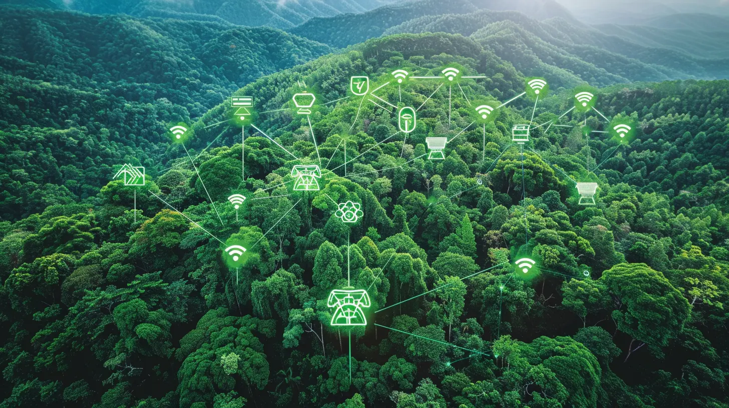
When you think of forests and technology, it’s easy to imagine them as two totally separate worlds. One is natural, the other is man-made. But nowadays, they're coming together in a big way—and it’s changing how we manage forests and the land around them. You might not realize it, but technology has become a key player in making forestry more sustainable. From drones mapping out tree canopies to artificial intelligence predicting forest fires, tech is making sure our green spaces stay healthy for years to come.
Let’s dive deep into how tech is reshaping sustainable forestry and land management. Trust me, it’s not as complicated as it sounds. In fact, you’ll be surprised at how these tech innovations are helping save our planet.

What Is Sustainable Forestry?
Before we get into the tech stuff, let’s clear up what we mean by “sustainable forestry.” At its core, sustainable forestry is about balancing the needs of the environment, wildlife, and people. It’s about managing forests in a way that meets today’s needs without compromising the ability of future generations to meet their own. Simple, right? But achieving this balance can be pretty tricky, especially when you consider all the pressures on forests—like logging, wildfires, and urban expansion. That’s where technology steps in.
The Role of Technology in Sustainable Forestry
Tech has come a long way in the last decade, and it’s being applied in ways we never thought possible, including forestry. The goal? To make forest management more efficient, accurate, and sustainable. By using innovative tools, we’re not just reducing human error—we’re also gaining insights that were once unimaginable.Drones: The Eyes in the Sky
Ever wonder how forest managers keep track of thousands or even millions of trees? Enter drones. These flying gadgets have revolutionized how we monitor forests. Equipped with high-resolution cameras, drones can capture detailed images of large areas in a fraction of the time it would take a human. They can be used to assess the health of trees, monitor biodiversity, and even track illegal logging activities.Imagine trying to walk through a dense forest to count trees or check for diseases. Sounds exhausting, right? With drones, forest managers can get a bird’s-eye view, spotting issues like deforestation or insect infestations long before they’d be visible from the ground. It’s like having a superpower—except it’s powered by a battery and a remote control.
Satellites: A Global Perspective
While drones are great for local monitoring, satellites take things to the next level. Satellites orbiting Earth provide real-time or near-real-time data about forests worldwide. This allows governments and organizations to track deforestation rates, forest cover changes, and even carbon sequestration (that’s the process by which trees absorb and store carbon dioxide, helping mitigate climate change).The best part? Satellite technology is constantly improving. With more advanced sensors, satellites can now detect things like moisture levels in soil and even the health of individual tree species. This global perspective is crucial for countries and organizations looking to make informed decisions about land management and conservation efforts.
AI and Machine Learning: The Brain Behind the Operations
Artificial intelligence (AI) and machine learning are game-changers when it comes to analyzing the massive amounts of data collected from drones, satellites, and other sources. These technologies can process data at lightning speed, identifying patterns and making predictions that humans simply can’t do as quickly or accurately.For example, AI algorithms can predict the risk of forest fires by analyzing weather conditions, vegetation types, and historical fire data. This allows forest managers to take preventive measures before a fire even starts. Similarly, machine learning models can help assess the impact of logging activities and suggest more sustainable practices.
In essence, AI is like the brain behind the operation, helping make sense of all the data that’s pouring in from various tech tools.
Geographic Information Systems (GIS): Mapping the Future
If you’ve ever used Google Maps, you’ve interacted with a form of GIS. But in the world of sustainable forestry, GIS is way more advanced. GIS combines data from various sources—satellite images, topographical maps, and even social and economic data—to create incredibly detailed maps.These maps help forest managers understand the lay of the land, so to speak. For instance, GIS can show areas that are most prone to deforestation, helping managers focus their conservation efforts where they’re needed most. It can also be used to plan sustainable logging operations, ensuring that they don’t disrupt ecosystems or lead to soil erosion.
Remote Sensing: A Deeper Look at the Forest
Remote sensing is like having X-ray vision for forests. It’s a technology that allows us to collect data from a distance, usually via satellites or aircraft. But instead of just capturing images, remote sensing uses things like infrared sensors to measure things we can’t see with the naked eye—such as the amount of water in a forest, the health of the vegetation, and even the presence of certain animal species.This type of data is incredibly valuable for sustainable forestry because it provides a more comprehensive view of forest health. For example, remote sensing can detect early signs of drought stress in trees, giving forest managers a heads-up before things get worse. It’s like having a crystal ball that helps predict future problems.

Tech in Action: Real-World Examples
So how is all this fancy tech actually being used in the real world? Let’s look at some examples.Fighting Wildfires with AI
In California, where wildfires are a constant threat, AI is being used to predict and prevent fires. By analyzing data from satellites, weather stations, and on-the-ground sensors, AI systems can forecast where and when a fire is most likely to occur. This allows firefighters to be more proactive, rather than reactive, in their efforts. It’s like having a weather forecast, but for fires.Deforestation Detection in the Amazon
The Amazon Rainforest is one of the most biodiverse places on Earth, but it’s also under constant threat from deforestation. Satellite technology, combined with AI, is being used to monitor deforestation in real-time. This allows governments and conservation organizations to take immediate action when illegal logging activities are detected.Restoring Degraded Lands in Africa
In Africa, tech is playing a crucial role in land restoration projects. Drones are being used to plant trees in areas that have been deforested or degraded. Yes, you read that right—drones can actually plant trees! This not only speeds up the process but also ensures that trees are planted in the most suitable locations for growth.
The Challenges of Implementing Tech in Forestry
Now, all this tech sounds amazing, but it’s not without its challenges. For starters, many of these technologies are expensive to implement, especially in developing countries where resources are limited. There’s also the issue of training. Forest managers need to be trained in how to use these new tools effectively, which can take time and money.Another challenge is data overload. With so much information being collected, it can be overwhelming to sort through it all and make informed decisions. This is where AI and machine learning come in—but even then, it’s not always easy to interpret the results.
Lastly, there’s the question of privacy. Some people are concerned about the use of drones and satellites for forest monitoring, particularly when it comes to indigenous lands. It’s important that these technologies are used responsibly and ethically, with respect for local communities.
The Future of Tech in Sustainable Forestry
Looking ahead, the future of tech in forestry and land management looks incredibly promising. As technology continues to advance, we’ll likely see even more innovative tools that make forest management more sustainable and efficient.For instance, we might see more widespread use of blockchain technology to track the origin of timber, ensuring that it comes from sustainably managed forests. We could also see the development of even smarter AI systems that can predict not just wildfires but also other natural disasters, like floods and landslides.
And let’s not forget about the role of citizen science. With the rise of smartphone apps and affordable drones, everyday people could play a bigger role in monitoring forests and reporting issues like illegal logging or forest fires.
Tech isn’t a magic bullet that will solve all our environmental problems overnight. But it’s a powerful tool that, when used correctly, can help us manage our forests and lands in a way that’s sustainable for generations to come.
Conclusion: Embracing a Tech-Driven Green Future
So, where does that leave us? If anything, it’s clear that technology and nature don’t have to be at odds. In fact, when used responsibly, tech can be one of our best allies in the fight for sustainable forestry and land management. Whether it’s drones, AI, or satellites, these tools are helping us gain a deeper understanding of our forests, make more informed decisions, and, ultimately, protect the planet.The key is to strike a balance. While technology can enhance our ability to manage forests sustainably, it’s still crucial that we maintain a human touch—listening to local communities, respecting indigenous rights, and staying grounded in the reality that forests are more than just resources. They’re ecosystems that sustain life in ways we’re only beginning to understand.
Here’s to a future where tech helps us not just manage our forests, but truly care for them.
all images in this post were generated using AI tools
Category:
Environmental TechAuthor:

Jerry Graham
Discussion
rate this article
17 comments
Nell Jenkins
Great read! It's inspiring to see how technology can promote sustainable forestry and land management, balancing innovation with environmental stewardship for future generations.
February 21, 2025 at 3:37 AM

Jerry Graham
Thank you! I'm glad you found it inspiring. Technology really is key to enhancing sustainability in forestry and land management.
Miriam Wallace
This article highlights the essential role of technology in promoting sustainable forestry and land management. Innovations such as remote sensing and data analytics are transforming practices, ensuring environmental conservation while meeting global resource demands. Great insights!
February 2, 2025 at 8:32 PM

Jerry Graham
Thank you for your thoughtful comment! I'm glad you found the insights on technology's role in sustainable forestry valuable.
Amanda McCollum
Tech: Nature's new ally for sustainability!
January 28, 2025 at 7:49 PM

Jerry Graham
Absolutely! Technology plays a crucial role in enhancing sustainable forestry and land management practices, enabling us to balance ecological health with human needs more effectively.
Audra Reed
Finally, a way for trees to get a tech upgrade—no more logging in the Stone Age!
January 22, 2025 at 8:54 PM

Jerry Graham
Absolutely! Technology is revolutionizing forestry, promoting sustainability while protecting our forests.
Bridget Sheppard
Exciting innovations for a greener future!
January 15, 2025 at 3:44 AM

Jerry Graham
Thank you! Embracing technology is essential for fostering sustainability in forestry and land management.
Hawk Acevedo
Great read! It's inspiring to see how tech innovations are nurturing our forests and promoting sustainable practices. Together, we can cultivate a greener future! 🌳💚
January 7, 2025 at 8:07 PM

Jerry Graham
Thank you! I'm glad you found it inspiring. Together, we can indeed make a significant difference for our forests and the planet! 🌍💚
Elora McKinstry
Tech innovations are revolutionizing sustainable forestry by enhancing monitoring, data analysis, and resource management, ultimately fostering healthier ecosystems and informed decision-making.
January 6, 2025 at 12:56 PM

Jerry Graham
Thank you for your insightful comment! Tech innovations truly play a crucial role in advancing sustainable forestry and land management.
Jude Dodson
Great insights! It’s encouraging to see technology enhancing sustainability in forestry. Emphasizing collaboration between tech and conservation could amplify positive impacts further.
January 4, 2025 at 4:54 AM

Jerry Graham
Thank you! I completely agree—collaboration between technology and conservation is key to maximizing sustainability in forestry.
Lys Richardson
Who knew technology could be the lumberjack’s best friend? Next thing you know, drones will be planting trees while we sit back, sip coffee, and debate if pine or oak makes better furniture!
January 3, 2025 at 7:46 PM

Jerry Graham
Indeed! Technology is transforming forestry, making sustainable practices more efficient and allowing us to focus on thoughtful discussions about our forests.
Tobias Reilly
Tech and trees: a match made in eco-heaven! 🌳💻
January 3, 2025 at 12:43 PM

Jerry Graham
Absolutely! Technology is transforming sustainable forestry, enhancing conservation efforts and promoting healthier ecosystems. 🌱
Cerys Maddox
Great insights on the intersection of technology and sustainable forestry! It's encouraging to see innovative solutions that promote responsible land management. Looking forward to more advancements in this vital area for our planet's health.
January 2, 2025 at 1:11 PM

Jerry Graham
Thank you! I'm glad you found the insights valuable. Together, we can drive positive change in sustainable forestry.
Patience Bowman
Innovative solutions for sustainability!
December 31, 2024 at 8:50 PM

Jerry Graham
Thank you! Technology plays a crucial role in advancing sustainable practices in forestry and land management.
Melissa Roberson
This article sheds light on the crucial intersection of technology and sustainable forestry. It's inspiring to see innovative solutions that can help protect our forests and land. I appreciate the thoughtful insights shared here, reminding us that technology can be a powerful ally in environmental stewardship. Thank you for this important discussion!
December 30, 2024 at 8:59 PM

Jerry Graham
Thank you for your thoughtful comment! I'm glad you found the insights on technology and sustainable forestry inspiring. Together, we can foster a brighter future for our forests!
Avery Cox
Great insights on sustainable tech!
December 30, 2024 at 1:02 PM

Jerry Graham
Thank you! I'm glad you found the insights valuable.
Oriana Reynolds
Technology revolutionizes sustainable forestry, enhancing efficiency and conservation.
December 30, 2024 at 3:21 AM

Jerry Graham
Thank you for your comment! Indeed, technology plays a crucial role in improving efficiency and promoting conservation in sustainable forestry practices.
Seraphis McBride
Tech innovations are revolutionizing sustainable forestry, enhancing efficiency and promoting ecological balance in land management.
December 28, 2024 at 7:42 PM

Jerry Graham
Thank you for your insights! Indeed, technology is playing a crucial role in advancing sustainable forestry practices and improving land management efficiency.
Damien Blair
Great insights! It's inspiring to see technology paving the way for sustainable practices in forestry and land management. Thank you!
December 28, 2024 at 6:03 AM

Jerry Graham
Thank you for your kind words! I'm glad you found the insights inspiring. Technology truly is transforming sustainable practices in these fields.
MORE POSTS

Gadgets to Keep Your Devices Cool and Efficient

Must-Have Tech Accessories for Your Daily Commute

Mobile Gaming for Beginners: A Complete Guide

The Role of 5G in the Future of Smart Homes

Why Digital Assistants are More Than Just Voice Command Tools

How to Sync Smart Devices for a Cohesive Home Experience

Advanced Audio Settings on Smart TVs: How to Enhance Your Sound

How to Manage Storage Space for Mobile Games

Tech Accessories That Keep Your Devices Clean and Safe

The Role of Data Analytics in Enhancing User Experience

Unlocking Business Growth with Prescriptive Analytics